Get Involved
Hiking
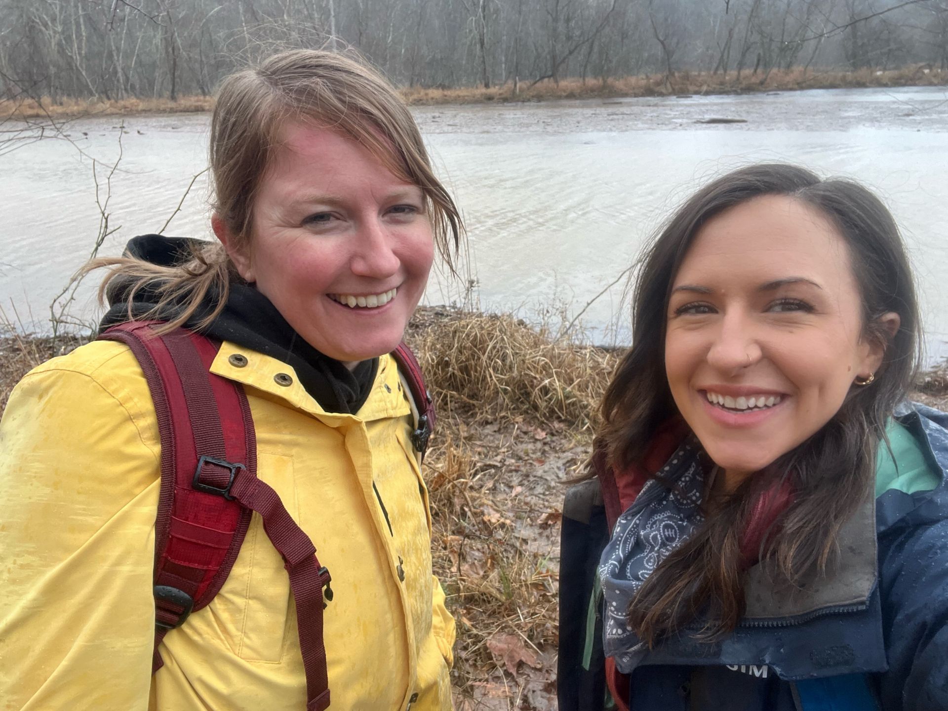
Hike to Support the Trails You Love
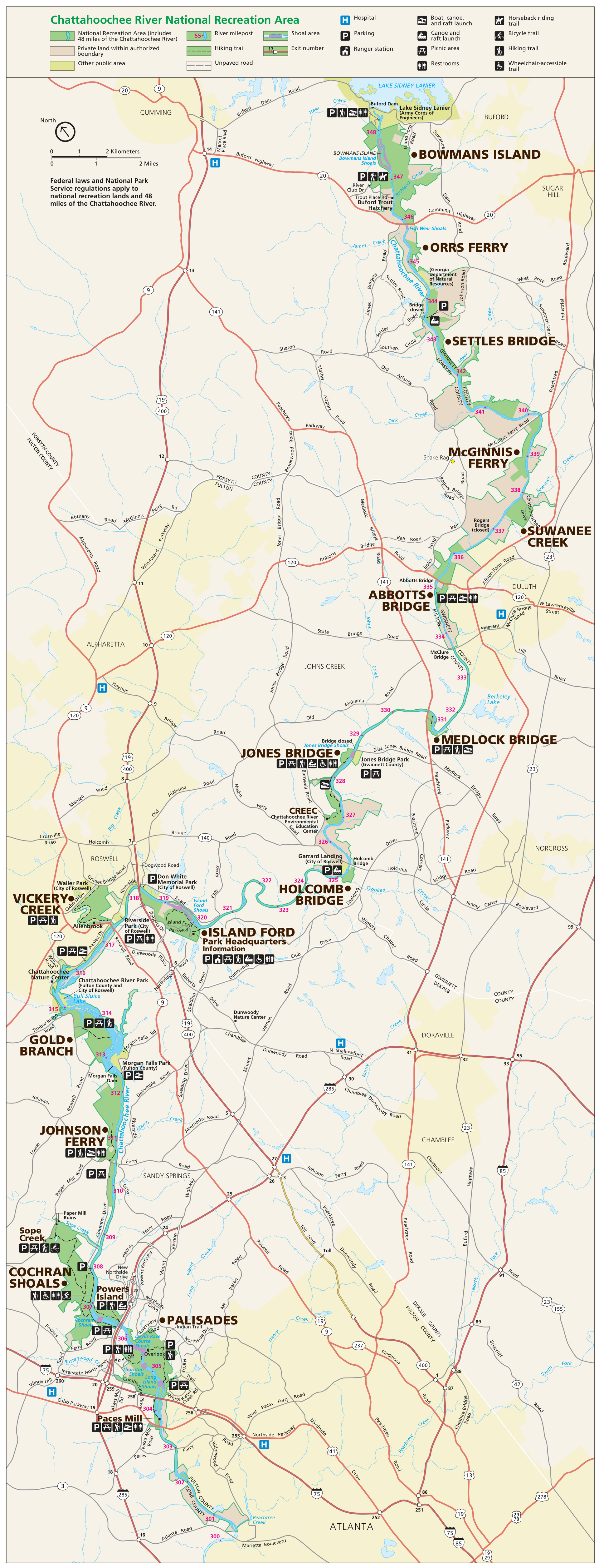
Explore the beauty of the Chattahoochee National Recreation Area (CRNRA) by hiking all 66 miles of trails within the park! CRNRA, located along 48 miles of the Chattahoochee River across 15 separate units in metro Atlanta, offers beautiful hiking trails, historic sites, and abundant recreational opportunities. And what better way to explore this scenic area than by trekking every single trail it has to offer? Take the challenge and experience it for yourself!
how it works
Explore Diverse Trails
Discover each and every trail in your local national park. The best part? There's no time limit!
Complete The Challenge
Hike all 66 miles at your own pace! Download CRNRA park unit trail maps and completion forms below.
Submit Your
Hikes
Once you’ve hiked all trails, submit your summary completion form via email, snail mail, or the form below.
Get Rewarded for Hiking
As a symbol of your achievement, you'll receive a Hike CRNRA patch and an annual membership to CNPC!
aCCEPT THE cHALLENGE
Download your trail maps and forms to start your adventure!
Trail Maps & Forms
Challenge Completion Form
Final Completion FormOnce you've hiked all 66 miles across 15 units, you're ready to claim your rewards! Simply download our HikeCRNRA Challenge Completion Tracker and submit it to the form below to let us know you've completed your journey.


Leave No Trace
Help protect the Chattahoochee River National Recreation Area by following Leave No Trace principles every time you visit:
Plan ahead
Know where you’re going. Check maps and alerts before you hit the trail.
Stay on trails
Protect plants and prevent erosion by sticking to marked paths.
Pack it in, pack it out
Take all trash, food scraps, and pet waste with you.
Leave what you find
Rocks, flowers, and other natural features belong in the park.
Respect wildlife
Watch from a distance and never feed animals.
Be considerate of others
Keep noise down and share the trail respectfully.
Support Hiking in Your Local National Park
From easy, scenic walks to more challenging treks, your support is essential for maintaining and expanding these trails. Donations help fund trail restoration, safety measures, and access improvements, ensuring that everyone can enjoy the park’s natural beauty on foot. Join as a member today and help preserve CRNRA for generations to come!
Purchase a Park Pass
A park pass is required for all visitors in all units of CRNRA. 80% of all fees collected help fund critical projects that improve services and protect resources in the park. Daily passes ($5), annual passes ($40), or annual senior passes ($20) are available for purchase online through NPS.